Showground Maps
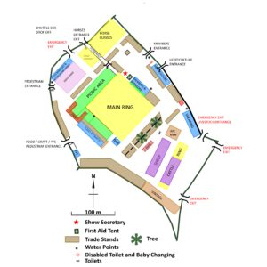
Please click on the maps below to view or download the layout of this year's show. For more information get in touch with the secretary, Wendy Smith on 01544 340598 or [email protected]
SHOWGROUND ACCESS POINTS
(Click on map)
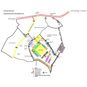
This map shows the location of the showground in relation to the public highway (A44) with the access points for show day identified depending on the nature of your visit. Please note, if you intend to visit the showground prior to show day (eg to set up a trade stand), you should follow the signage on the A44 for which entrance to use as this may be different to that shown. If in doubt please call the secretary, Wendy Smith, on 07961 945624.


